CARTOGRAPHIC STUDIES
Phases of the cartographic study
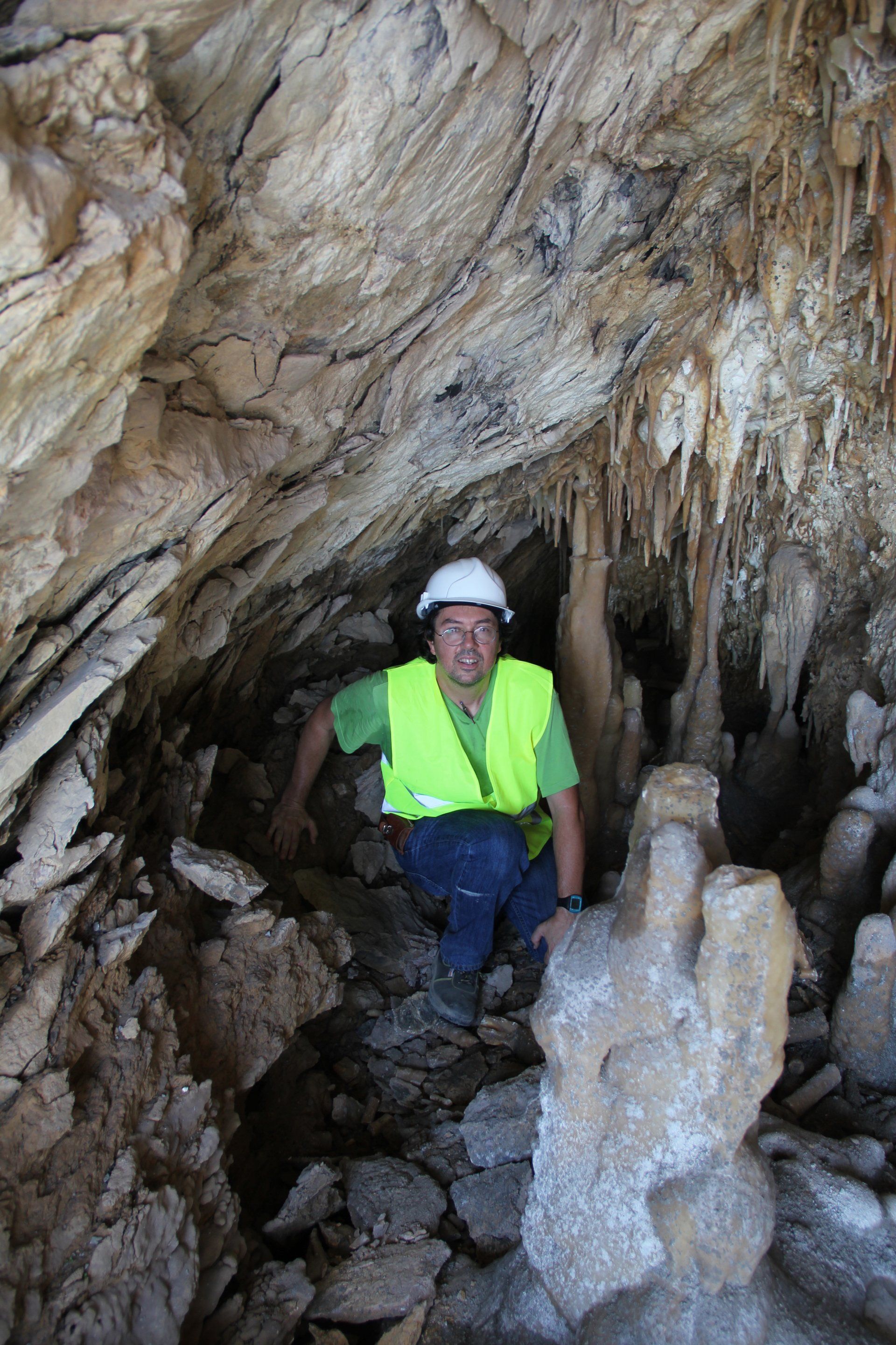
Field supervision in the study area (accesses, lithology view, determination of the geological structure, presence of water and field analysis based on geological parameters)
First geological sketches and return to the field to finalize cartography.
Geological mapping: representation on topographic plan of the distribution of the types of terrain depending on the type and its geological characteristics.
Cabinet work
Binding and presentation
PETROGRAPHIC STUDIES
Classification, properties and quality of a different types of rocks
Mineralogical relationship between mineral species in a non-natural compound:
Analysis in aggregates already processed
Concrete
Recrystallization in metal welds


